Beginnings...
- Gemma Collard-Stokes
- Jul 3, 2021
- 3 min read

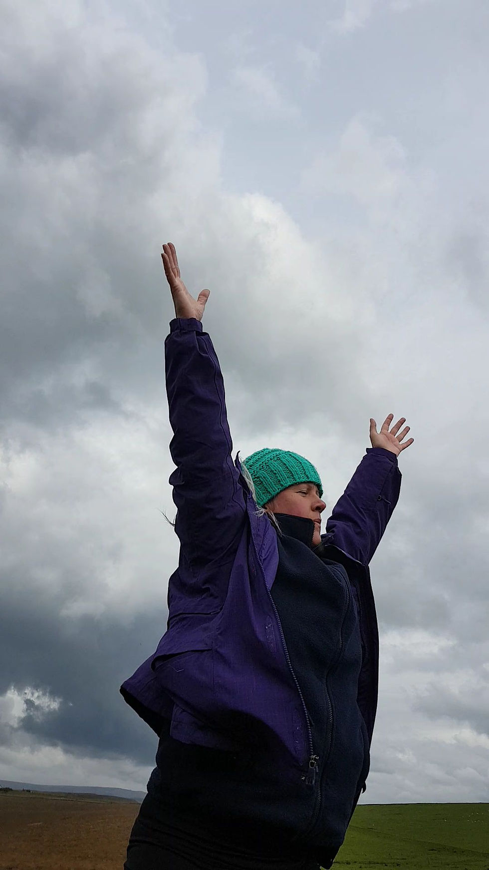
Poet Scott Thurston and I have been collaborating for well over a year, sharing our practices and making work that pushes the boundaries of these practices. In February 2020, Scott and I were sharing some of this work at The Sunday School at AWOL Studios in Manchester, when visual artist Sabine Kussmaul was in attendance. Sabine later emailed us to express an interest in our work, particularly, the outdoor practice that informs my approach. Sabine shared her own research interests in which she negotiates relational aspects of the body, land and art materials. At the time, Sabine had been visiting one site quite often – Bakestonedale moor the Cheshire village of Pott Shrigley - and was intrigued by the ways haptic and visual aspects of place impact upon human experience of place. The three of us began regular online meetings, sharing ideas and experiences and becoming progressively fascinated by the Pott Shrigley site and the ways the combination of our practices might open further possibilities for us all.

Since these early conversations, our explorations have grown steadily and we have begun an on-site enquiry, trialling new approaches to working with the land, with our own disciplines, across and between our disciplines and with each other. What has begun to emerge is an enquiry situated in the exploration of multiple narratives concerning the lived experience and history of this landscape. We are beginning to move towards an appreciation of how these narratives might sculpt perceptions of potential environmental futures. Between 2010 and 2011 Caitlin DeSilvey, Simon Naylor and Colin Sackett organised a research network supported by the AHRC Landscape and Environment programme. The network, Anticipatory histories of landscape and wildlife, progressed the idea of ‘anticipatory history’ as a method of tracing and connecting past, present and future occurrences of environmental change (DeSilvey, Naylor & Sackett 2011). Their work offers a new way to consider and engage with place that brings together scientific information with lived experiences and histories to help “us apprehend and respond to” ecological developments (2011: 9). Following Hayden White’s concept of ‘progressive history’, anticipatory history gathers information from the past to understand what it will take to shape the future towards one we would like to “inherit rather than […] endure” (Domanska 2008: 19). Our task, as 3 artists, is how to engage, communicate and construct these narratives.


Historic and landscape features of Bakestonedale moor and the area of Pott Shrigley
The earliest recording of the name Pott Shrigley is Shrigglepott in 1348. Pott Shrigley means deep hole (Pott) or glade often visited by mistle thrushes (Shrigley). Bakestonedale, on the other hand, is derived from the thin round stones used for baking oatcakes over a fire. A common preference for a miner’s dinner.

From atop the moor, you can identify the nearby Broze Age round barrows of Nab Head and Sponds Hill, although there are several more burial sites scattered around the area. A Roman road from Cheadle to Buxton runs through Cheadle Hulme, Bramhall, Woodford and Pott Shrigley. While there is no evidence of a settlement, artefacts such as coins and jewellery have been uncovered along the route. Prior to the 18th century the land was mainly used for agricultural purposes, with the Shrigley Estate being the main employer and landowner.

However, from the 18th century onwards, Pott Shrigley has been home to the brick making industry, with extensive coal mining and quarrying worked by shafts, ‘day-eye’ and ‘bell’ pits. Around 1820 the first brickworks began when George Lambert and Abraham Bury went into partnership. They used the locally mined coal and clay and fired the bricks in a single small kiln. Yet, in 1870 William Hammond took ownership and worked the clay and coal seams. The main mineral extraction in Pott Shrigley was coal and fireclay, mined at the same time as they were found one on top of the other. The clay was used to make the bricks and the coal was used to fire them.

The last coal and fireclay extraction took place in the mid-1960s. The works left several deep shafts open until the 1970s when they were capped by the National Coal Board and marked by distinctive concrete obelisks. Hammond’s Bakestonedale colliery consisted of 3 sites, the clay pit, with 7 underground workers and 1 surface worker. The clay level, with 8 underground workers and 1 surface worker, and the coal pit where 15 underground workers and 4 surface workers could be employed. The 1881 census documents the significance of the industry to employment in this small village at the time, stating 37 men were employed in mineral substances and 33 in agricultural work.


References:
Domanska, E. (2008) A conversation with Hayden White, Rethinking History, 12:1, 3-21, DOI: 10.1080/13642520701838744
DeSilvey, C. Naylor, S. & Sackett, c. (2011) Anticipatory History. United Kingdom: Uniformbooks
Further reading:


Comments